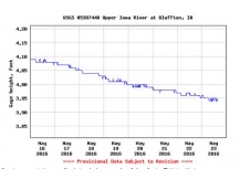
New river stage predictions are going into operation at Bluffton
The National Weather Service La Crosse Office says it will begin on Sunday forecasting river levels near Bluffton.
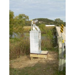
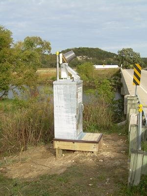
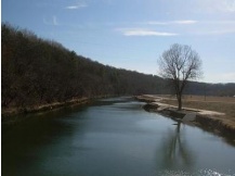
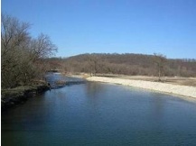
A river level gauge on the Upper Iowa River has been located just east of Bluffton since 1999. But now the information from that gauge will be used to develop river level forecasts at that location, as well as just upstream of Bluffton itself, downstream a few miles to the confluence with Ten Mile Creek. The forecasts will be issued on an as needed basis, when rainfall or snowmelt is expected to cause river levels to rise significantly, and pose a possible threat.
With the newest changes, forecast levels will now also be available for the Bluffton area, and will provide even more information for the Decorah area.
Flood stage for this Bluffton location will be 14 feet on the river gauge. The gauge equipment is owned and operated by the U.S. Geological Survey (USGS), Water Science Center in Iowa City.
Data from the river gauge are transmitted via automated satellite links to NWS offices. River forecasts are then generated at the North Central River Forecast Center in Chanhassen, Minnesota, and, after coordination, are issued by the National Weather Service in La Crosse. These forecasts use past rainfall and predicted rainfall or snowmelt in the area, as well as temperatures and soil conditions, as input to a hydrologic model to predict changes in river levels.
Data and forecasts for the Upper Iowa River and other rivers around the area can be viewed at http://www.weather.gov/arx under the "River Info/AHPS" tab. Visitors to this website can view current river stages, forecasts out to 7 days, maps, historical information, and probabilistic forecasts out to 90 days. River forecasts during flooding will also be available via NOAA weather radio station KXI60 near Decorah (162.525 Mhz).
For questions or additional information please contact NWS Service Hydrologist Mike Welvaert at the La Crosse NWS Office (608) 784-8275, extension 493 or e-mail him at mike.welvaert@noaa.gov.
Site designed and maintained by Iroc Web Design Services©.
Your Small Business Web Design Solutions.™
