Winneshiek County is better informed now about potential flooding risks along the Upper Iowa River
Emergency government officials in Winneshiek County are now getting more advanced notice of potential flooding along the Upper Iowa River.
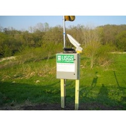
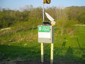
Last year Winneshiek County agreed to pay $3,500 towards the cost of installing a new river gauge at Kendallville. Winneshiek County Emergency Government Coordinator Bruce Goetsch says it's just one of several new river level gauges--there is another remote readable gauge near Lime Springs, an Iowa Flood Project gauge between the Bluffton and Decorah gauges and a remote gauge at Highway 9 on the Dry Run watershed.
Goetsch says you can see data from most of these remote readable sites on the Hydrologic tab of the La Crosse National Weather Service's website, http://water.weather.gov/ahps2/index.php?wfo=arx. The Kendallville data is available at http://waterdata.usgs.gov/usa/nwis/uv?05387405.
Goetsch says it will take a period of time for the National Weather Service to log data and be able to make reliable predictions of river levels and crests following heavy rain fall in Northeast Iowa.
But the three additional river gauges will give emergency government officials a lot more data than they could look at just one year ago.
Site designed and maintained by Iroc Web Design Services©.
Your Small Business Web Design Solutions.™


